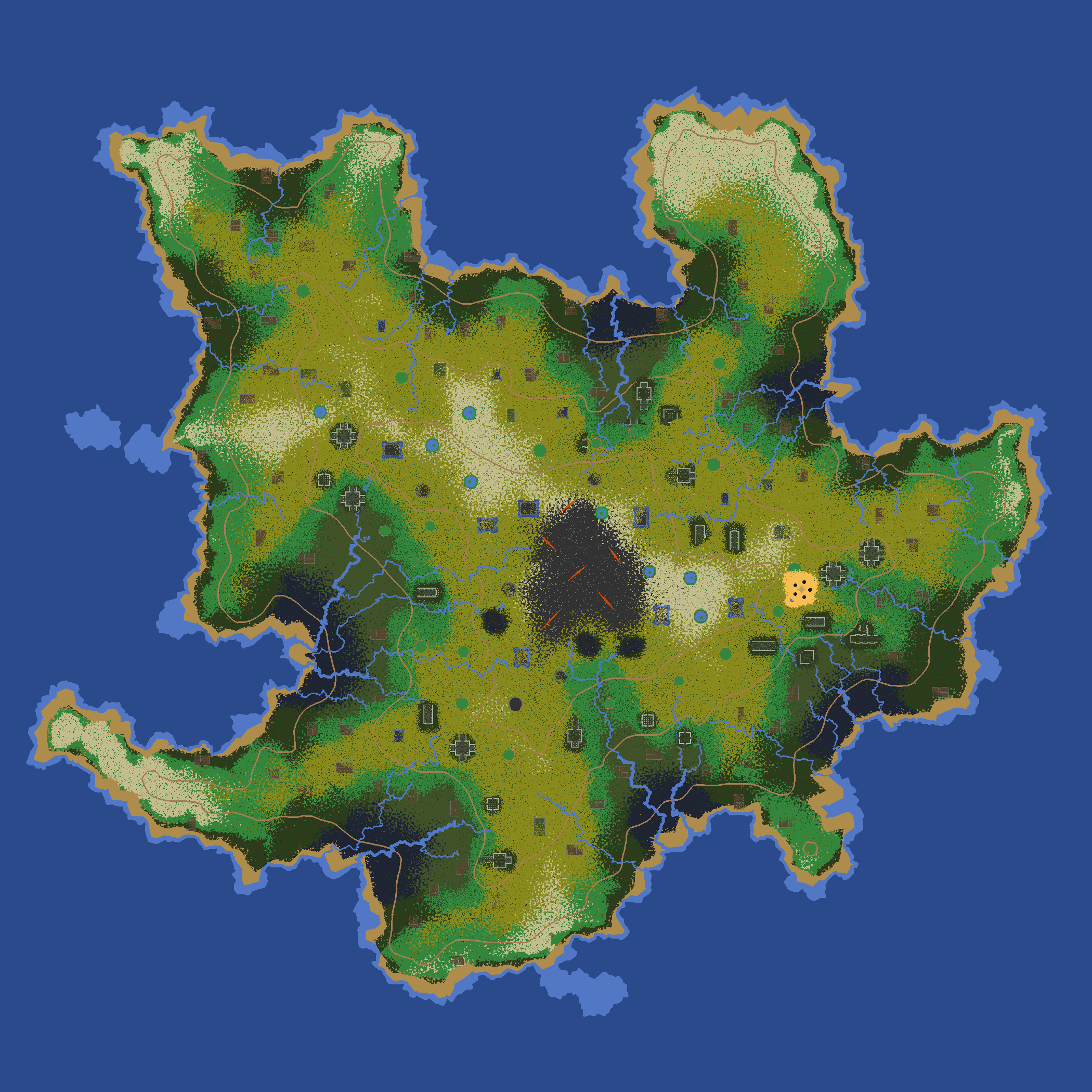
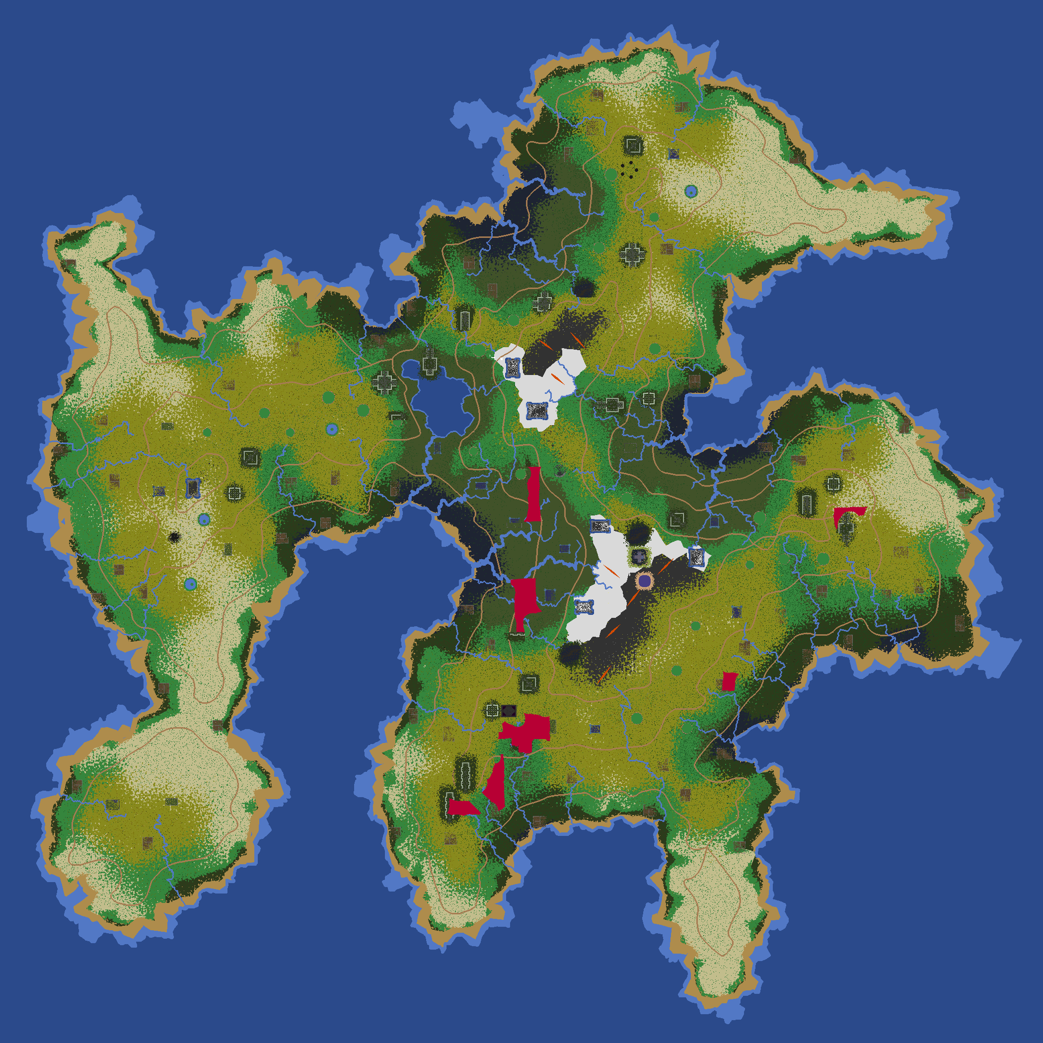
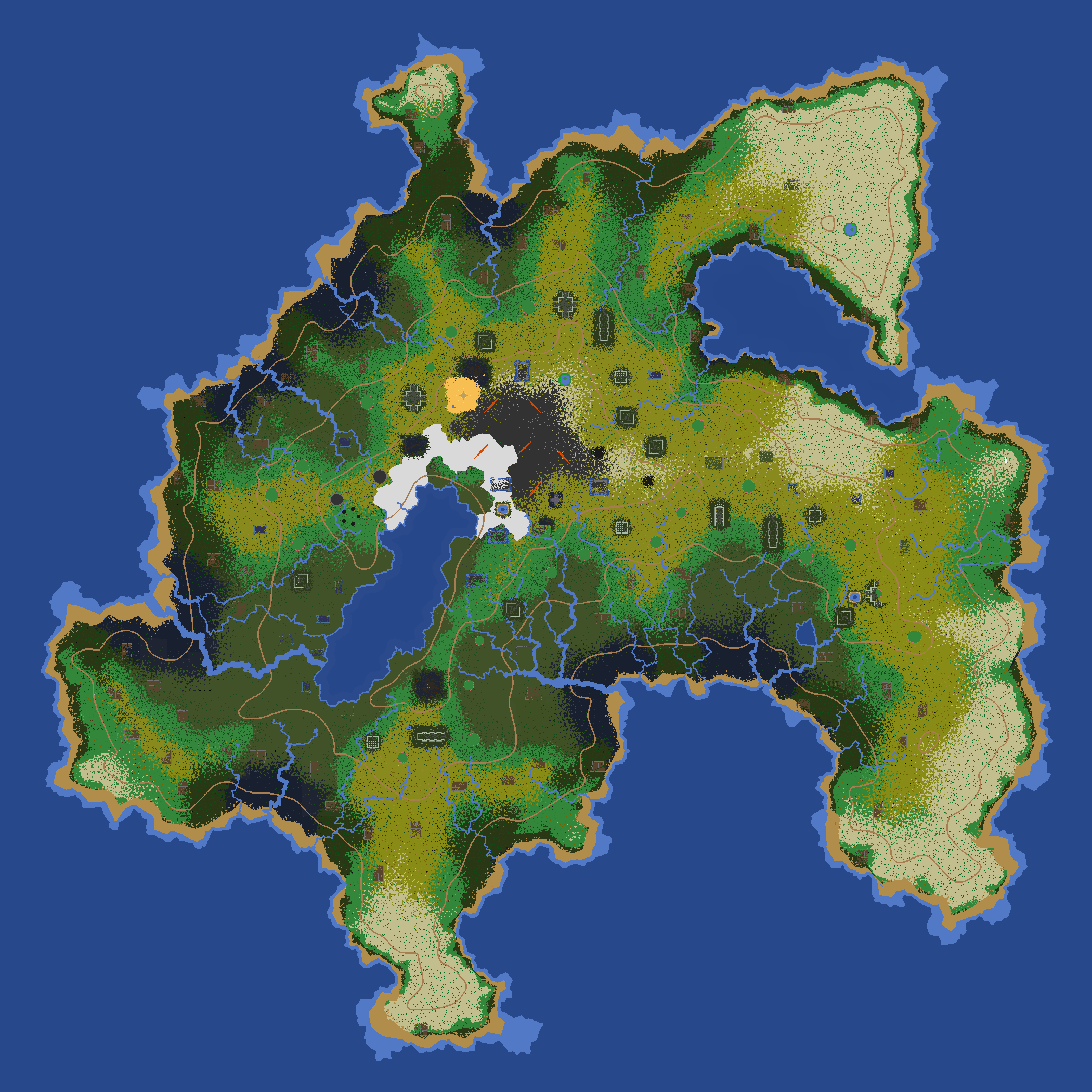
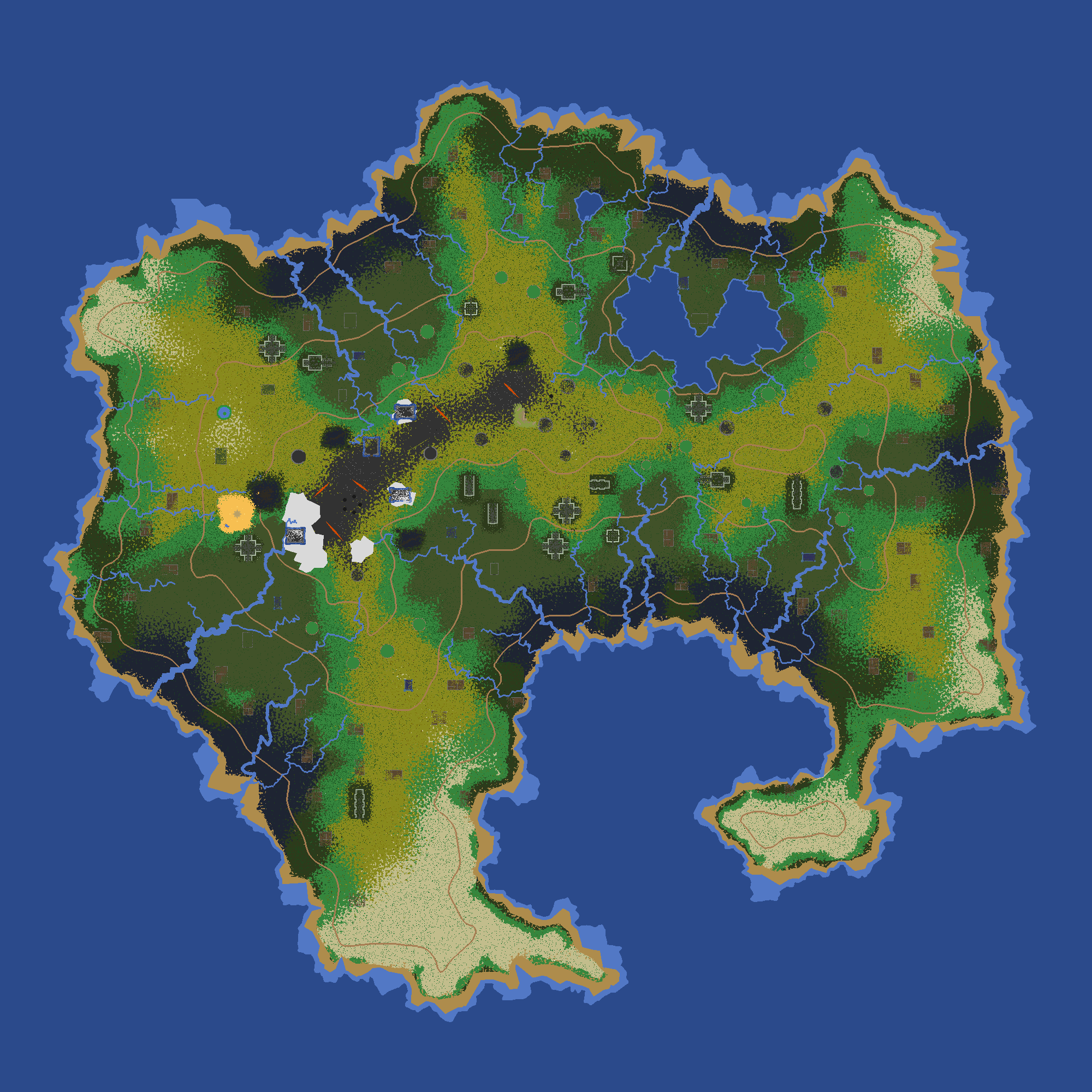
This tool was partially LLM-generated, using the prompts make an html file that displays an image and lets you click on the map to add a point to it. then allow clicking on the existing point to remove it. Draw the point as a circle with radius 10 on top over the image and use the File System Access API to save the points to a file every time they are changed, and also load the initial set of points from that file. I wrote the rest on top of that.

